Embarking on an Alaska cruise is one of the most spectacular ways to experience the Last Frontier. From the charming streets of Juneau and the rugged beauty of Skagway to the awe-inspiring glaciers of Glacier Bay and the wildlife of Ketchikan, each port of call has something unforgettable to offer.
In this traveler’s guide, we’ll help you navigate the top Alaska cruise ports, what to see, where to go, the best shore excursions, and insider tips for making every port day count. Whether it’s your first cruise to Alaska or your fifth, this guide will help you get the most from your Alaska cruise itinerary.
Planning Your Alaska Cruise Itinerary
Most travelers choose between two main Alaska cruise routes: the Inside Passage cruise and the Gulf of Alaska route.
- The Inside Passage sails through a network of scenic fjords and coastal towns such as Ketchikan, Juneau, and Skagway—great for calm waters and beautiful views.
- The Gulf of Alaska itinerary includes ports like Seward, Whittier, and Anchorage, often connecting to Denali National Park through post-cruise land tours.
Most cruises depart from Seattle or Vancouver, sailing north through southeast Alaska and returning via the same route or disembarking near Whittier. Each route has its own highlights, so your choice depends on your travel goals—scenic views, wildlife, or adventure.

How to Choose the Best Alaska Cruise
When comparing cruise itineraries, think about what matters most to you:
- Wildlife and Scenery: Choose an Inside Passage cruise with stops at Icy Strait Point, Glacier Bay, or Seward.
- Cultural Experiences: Visit Skagway, Sitka, and Ketchikan for history and heritage.
- Adventure and Excursions: Look for shore excursions like kayaking, hiking, or Segway and e-bike tours for a more hands-on experience.
The Alaska cruise season typically runs from May through September, with peak months being June and July when the days are longest and wildlife is most active.
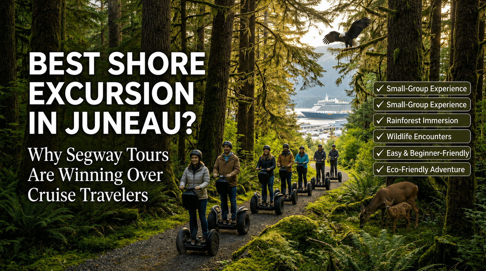
Juneau: Glaciers, Whales, and Local Flavor
As one of the most visited Alaska cruise ports, Juneau perfectly combines outdoor adventure with small-town charm. Don’t miss a visit to Mendenhall Glacier, one of the easiest glaciers to access in the state.
You can also join a whale-watching excursion or explore the city on a Segway or e-bike tour—a fun, eco-friendly way to see downtown, the harbor, and the scenic trails.
Tip: A free shuttle connects most cruise docks to downtown Juneau, making it easy to spend the day exploring at your own pace.
Ketchikan: Alaska’s First City
When your cruise ship pulls into Ketchikan, you’ll be greeted by colorful wooden buildings along Creek Street and a strong sense of Native heritage. This port is known for its incredible collection of totem poles, found in Totem Bight State Park and Saxman Native Village.
Outdoor lovers can join a wildlife cruise to the Misty Fjords National Monument, where towering cliffs and waterfalls create a dreamlike landscape. Keep an eye out for bald eagles, seals, and even brown bears along the way.

Skagway: A Step Back in Time
Few places capture Alaska’s history like Skagway, a key stop on every Alaska cruise itinerary. Walk down Broadway Street, lined with restored gold rush-era buildings and saloons that tell the story of the 1898 boom.
Take the historic White Pass & Yukon Route Railway, which climbs nearly 3,000 feet into the mountains—offering breathtaking views of glaciers and fjords. Or explore town by foot, stopping by the Klondike Gold Rush National Historical Park to immerse yourself in Alaskan history.
Sitka: Nature Meets Culture
Sitka, nestled along the Inside Passage, offers a unique blend of Native Tlingit and Russian influences. Visit the Sitka National Historical Park to stroll past hand-carved totem poles or head to the Fortress of the Bear, where you can safely observe rescued brown bears.
Many visitors enjoy kayaking through the nearby islands or joining small-group wildlife cruises to spot sea otters, whales, and puffins.
Glacier Bay National Park: A Natural Wonder
No Alaska cruise experience is complete without Glacier Bay National Park, a UNESCO World Heritage Site featuring icy fjords, towering peaks, and active glaciers.
Your cruise ship sails directly through the bay, offering up-close views of calving ice and wildlife like humpback whales and sea lions. Though you won’t dock here, this is one of the most unforgettable parts of the journey along the Inside Passage and Gulf routes.
Seward and Whittier: Ports of the Gulf of Alaska
If your itinerary includes the Gulf of Alaska, your ship will likely dock in Seward or Whittier, two scenic ports of call with plenty to explore before or after your voyage.
In Seward, don’t miss Kenai Fjords National Park, known for its glaciers and marine wildlife. Meanwhile, Whittier offers easy access to Prince William Sound, where you can join kayak tours or take the scenic Alaska Railroad to Anchorage and Denali National Park for an extended land tour.
Why Segway and E-Bike Tours Are the Best Off-Ship Adventure
After days aboard your cruise ship, there’s no better way to stretch your legs and explore than on a Segway or e-bike tour. With iRide Alaska, you can glide through Juneau’s most scenic spots, from the harbor and rainforest trails to historic landmarks—all led by friendly, knowledgeable guides.
It’s an easy, exciting, and eco-friendly way to experience Alaska beyond the usual cruise excursions. Whether you’re a first-time rider or an adventure enthusiast, iRide Alaska helps you see the capital city in a whole new way.
Ready to make your Alaska cruise unforgettable?
When your cruise ship docks in Juneau, hop off and join iRide Alaska for a one-of-a-kind Segway or e-bike tour. Explore more, see more, and experience Alaska from a fresh perspective on two wheels. Book Now!